
Menu
For Immediate Release
March 17, 2024
Contact: Abbie Goodman 617-227-5551, for the Massachusetts Association of Land Surveyors and Civil Engineers (MALSCE)
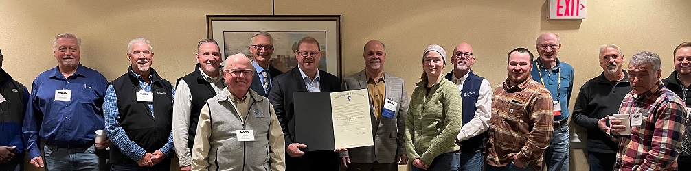
MALSCE Members Celebrate Professional Land Surveyors Week with a Proclamation from Massachusetts Governor Maura Healey, Lt. Governor Kim Driscoll, and Secretary of State Bill Galvin.
BOSTON, MA - Massachusetts Governor Maura Healey has proclaimed the week of March 17, 2024, to be Professional Land Surveyors Week. The Massachusetts Association of Land Surveyors and Civil Engineers (MALSCE) encourages its members to continue its work to increase awareness of land surveying careers..
This week, March 17-23, 2024, is also National Surveyors Week and March 21, 2024 is Global Surveyors Day. The work of land surveyors is essential, and the goal of this week is to explain their contributions to the public, while promoting the profession to young people considering career paths.
MALSCE is celebrating its members: professional land surveyors, survey field crews, and CADD technicians also on Global National Surveyors Day and #NationalSurveyorsWeek! Our talented members focus on accurate data collection utilizing advanced technology such as GPS, 3D laser scanning, robotic survey equipment, and unmanned aerial systems (UAS) to measure and map just about everything on land, in the air, or in the ocean.
About National Surveyors Week
National Surveyors Week is designed to raise awareness of the surveying profession and was proclaimed nationally in 1984, but the profession’s place in world history began much earlier. Surveying is one of the oldest known professions with the first land ownership record creation by an Egyptian Land Register as early as 3,000 BC. George Washington, the first president of the United States, began his career as a surveyor, mapmaker, and solider.
Why Land Surveying?
Land Surveying is a great industry to get into if you enjoy working in varied environments (both outdoors and indoors), enjoy dynamic problem solving, and the ability to work with technology such as 3D scanning, drones, and satellite imagery. There are many types of surveying (development, construction, precision measurement, aerial, hydro) but one factor is universal: surveying is a blend of art and science essential in the built environment.
Many opportunities await those considering a job change or are looking for a career path. The Bureau of Labor Statistics estimates an increased need for surveyors in the U.S. as a large percentage are in the late stages of their careers. Additionally, people are entering the profession at lower rates than they have in the past. While formal education is a route into the profession, it is not a requirement. Many surveyors learn on-the-job from experienced surveyors.
According to the Massachusetts Division of Occupational Licensure, Board of Registration of Professional Engineers and Land Surveyors, Massachusetts currently has 747 licensed Professional Land Surveyors.
According to the Bureau of Labor Statistics there are 47,770 surveyors (May 2022) in the United States. Surveyors are skilled or familiar with several fields. Some of those fields include geometry, trigonometry, regression analysis, physics, engineering, meteorology, programming languages, and the law. While the basics of surveying are the same, the tools of surveying today use more technology than they once used. Drones and lasers have replaced much of the telescope-on-a-tripod work. Remote sensing and satellite imagery continue to improve and become cheaper, allowing more commonplace use. One prominent new technology includes three-dimensional (3D) scanning.
National Surveyors Week every year starts with the third Sunday in March and aims to educate the public through classroom contact, media, and visible public service.
Surveying has advanced civilization since the beginning of recorded history. When cities grow, planning is necessary for most earth-bound projects. The building of the Great Pyramid at Giza in 2700 BC is one of the first examples in the history of land surveying. Surveying is also used in transport, communications, mapping, and the definition of legal boundaries for land ownership. Many scientific disciplines use this important tool for research, too.
= end =
Important: To be recognized as a MALSCE member you must login using your MALSCE assigned username and password.
Registration is processed through the MALSCE associated website, www.engineers.org. MALSCE is supported by the staff of The Engineering Center Education Trust.
Please note: Altering your name or contact information during registration may overwrite your record in our membership database and prevent you from receiving your member benefits.
If you have additional questions regarding registration, please contact us at 617/227-5551 or malsce@engineers.org.